


Remote sensing technology has come a long way since its inception. From its humble beginnings, it has evolved into a powerful tool that has revolutionized various industries. In this article, we will explore the advancements in remote sensing technology and how it has enhanced environmental monitoring, decision-making, field data collection, and disaster response. We will also delve into the future of remote sensing and the exciting innovations and trends that are on the horizon.
The Evolution of Remote Sensing Technology
Remote sensing technology has seen remarkable progress over the years. What once started with simple aerial photography has now transformed into a sophisticated system that utilizes satellites, drones, and advanced sensors. This technology allows us to gather invaluable data about our planet from a distance, enabling us to gain insights and make informed decisions.
One significant advancement in remote sensing technology is the availability of high-resolution imagery. With higher resolution, we can observe and analyze features with greater detail, leading to more accurate interpretations. This increased resolution has opened up new possibilities in fields like agriculture, urban planning, and natural resource management.
Furthermore, the integration of remote sensing and Geographic Information System (GIS) technology has been a game-changer. By combining these powerful tools, we can analyze and visualize spatial data in a way that was not possible before. This integration has facilitated better decision-making by providing a comprehensive understanding of the Earth’s surface and its changes over time.
Another notable development in remote sensing technology is the advancement in hyperspectral imaging. This technique involves capturing and processing information from across the electromagnetic spectrum, allowing for detailed analysis of materials and environments. Hyperspectral imaging has proven to be particularly useful in environmental monitoring, mineral exploration, and even healthcare diagnostics.
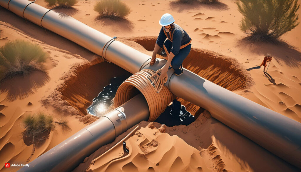
Moreover, the miniaturization of sensors and the rise of unmanned aerial vehicles (UAVs) have revolutionized data collection processes. UAVs equipped with remote sensing capabilities can access hard-to-reach areas and capture data with precision and efficiency. This has significantly enhanced the speed and cost-effectiveness of remote sensing applications in various industries.

Enhancing Environmental Monitoring with Remote Sensing
One of the most significant applications of remote sensing technology is in environmental monitoring. By capturing data from satellites and other platforms, we can observe changes in land cover, vegetation health, and water resources. This information is crucial for assessing the health of ecosystems, detecting deforestation, and monitoring the effects of climate change.
Remote sensing also plays a vital role in disaster management. By monitoring areas prone to natural disasters such as floods, wildfires, and hurricanes, we can anticipate and respond to these events more effectively. The timely information provided by remote sensing allows for better evacuation planning, resource allocation, and recovery efforts.
Integrating Remote Sensing Data with GIS for Better Decision-Making
When it comes to decision-making, having access to accurate and up-to-date information is crucial. This is where the integration of remote sensing data with GIS technology becomes invaluable. By overlaying remote sensing data onto GIS maps, we can gain a holistic view of various factors that influence decision-making, such as land use, population density, and environmental conditions.
This integration is particularly beneficial in urban planning. By analyzing remote sensing data alongside GIS data, urban planners can make informed decisions about infrastructure development, land use zoning, and transportation networks. This comprehensive approach helps create more sustainable and livable cities.

Introduction to Gruntify: A Powerful Tool for Field Data Collection
Gruntify is a cutting-edge platform that takes field data collection to the next level. With its user-friendly interface and powerful capabilities, it empowers field workers to collect data more efficiently and accurately. Gruntify allows for seamless collaboration between field teams and office staff, ensuring that data is captured in real-time and accessible to those who need it.
One of the standout features of Gruntify is its ability to integrate with various remote sensing technologies. By connecting with satellites, drones, and other sensors, Gruntify enables field workers to capture data directly from the source. This real-time data collection enhances the accuracy and timeliness of information, ultimately leading to more informed decision-making.
Streamlining Field Workflows with Gruntify’s Mobile Capabilities
Gone are the days of paper-based data collection. Gruntify’s mobile capabilities streamline field workflows and eliminate the need for manual data entry. Field workers can capture data using their smartphones or tablets, and the information is instantly synced with the central database. This automation reduces human error and saves valuable time, allowing field teams to focus on their core tasks.
Furthermore, Gruntify’s mobile capabilities enable field workers to retrieve and update data even without internet connectivity. This offline functionality ensures that data collection can continue in remote areas or during temporary network outages. Once connected, the collected data is automatically synchronized, making it accessible to all stakeholders.
Enhancing Disaster Response with Remote Sensing and Gruntify
The combination of remote sensing technology and Gruntify has tremendous potential in enhancing disaster response efforts. When disasters strike, time is of the essence, and having accurate and up-to-date information can make a significant difference in saving lives and minimizing damage.
By utilizing remote sensing imagery and Gruntify’s mobile capabilities, disaster response teams can quickly assess the impact of a disaster and allocate resources efficiently. The real-time data collected through Gruntify enables rapid decision-making, facilitates search and rescue operations, and aids in damage assessment. The integration of these technologies is a powerful tool in preparing for and managing various emergencies.
The Future of Remote Sensing: Innovations and Trends
The future of remote sensing is filled with exciting innovations and trends. One key trend is the increasing use of artificial intelligence and machine learning algorithms to analyze remote sensing data. These technologies can identify patterns and detect changes in the environment that might be imperceptible to the human eye, enabling us to better understand complex systems.
Another innovation on the horizon is the miniaturization of remote sensing technology. Smaller, more affordable satellites and drones equipped with high-resolution sensors will allow for more frequent data collection and monitoring of specific regions. This increased frequency will provide a more granular view of environmental changes and facilitate more targeted interventions.
As remote sensing technology continues to evolve, so does its potential to drive positive change. From enhancing environmental monitoring to revolutionizing field data collection and disaster response, remote sensing, in combination with platforms like Gruntify, provides us with the tools we need to turn insight into action.


